
Page 45
conferenceseries
.com
Volume 8
Epidemiology: Open Access
ISSN: 2161-1165
Epidemiology 2018
September 17-19, 2018
September 17-19, 2018 | Rome, Italy
8
th
International Conference on
Epidemiology & Public Health
Hurricane Maria response in Puerto Rico: Developing app-based survey tools during disaster
response and recovery
Elizabeth Irvin-Barnwell
1
, Christophe Maniglier-Poulet
2
, Rebecca de la Cruz Pérez
3
and
Miguel A. Cruz
4
1
Agency for Toxic Substances and Disease Registry, Colorado
2
Agency for Toxic Substances and Disease Registry, Georgia
3
Puerto Rico Planning Board, Puerto Rico
4
National Center for Environmental Health, Georgia
Background:
Hurricanes Irma and Maria affected the US Territory of Puerto Rico in 2017 causing catastrophic impacts
and damages to key facilities and services. As part of the overall public health response activities, a Public Health Branch
(PHB), operating under the Department of Health and Human Services Incident Response Coordination Team, conducted
environmental assessments of health care facilities throughout Puerto Rico using standardized Infrastructure Capacity
Assessment Tools (ICAT).
Methods:
After determining a redundancy of efforts and the significant amount of time required for data entry, data cleaning,
and analysis and reporting of key findings, the PHB, in collaboration with the Puerto Rico Planning Board’s GIS group,
developed an app-based survey, including information on operational status and structural damage. The Field Assessment
Teams piloted the ICAT app from October 31, 2017 to November 18, 2017 in 76 clinics. Additionally, the development team
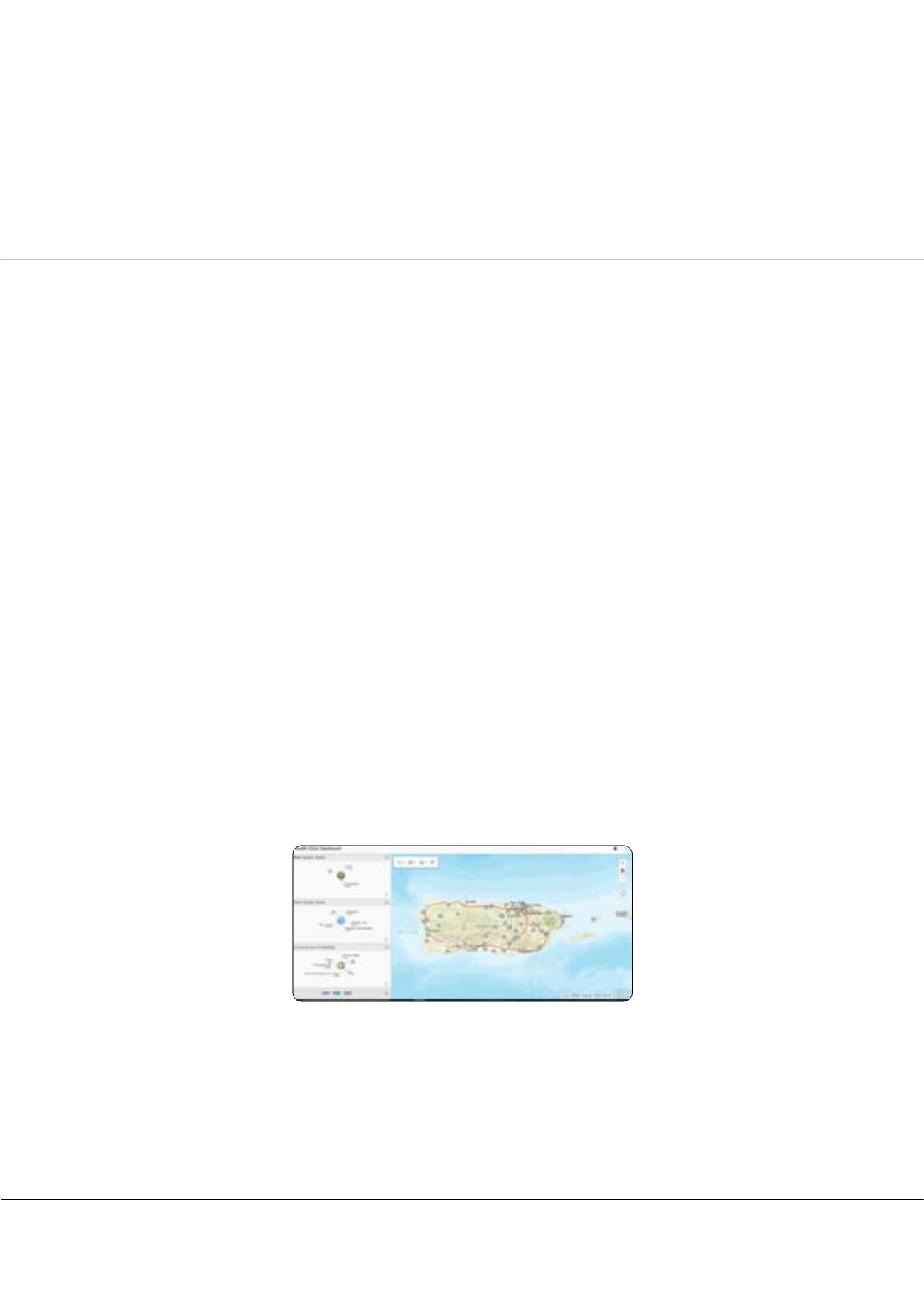
created a dashboard allowing real-time field data to be viewed by response leadership.
Results:
The pilot work indicates the ICAT app saved a minimum of 1 hour per survey (minimum of 72 hours per week)
that was previously required for data entry and data cleaning and reduced the errors encountered during translation of paper
survey information into the electronic database.
Conclusions:
GIS capabilities of the app were deemed extremely relevant and important in multi-agency emergency response
settings allowing partners visibility on daily assessment activities. The ICAT app piloted during the Hurricane Maria response
demonstrated the feasibility of this tool during disaster response activities. Currently, the ICAT app is being expanded to a
broader set of assessment tools, the Comprehensive Disaster Assessment and Readiness Tools (CDART), which will allow
for decrease redundancy/duplication of efforts, decrease respondent fatigue, and increase efficiency and data quality while
allowing for real-time presentation of key information to response leadership during the disaster response phase.
Figure 1:
Dashboard indicating status of health care clinics in Puerto Rico post-Hurricane Maria
Recent Publications
1. Ochi S, Kato S, Kobayashi KI, Kanatani Y. The Great East Japan Earthquake: Analyses of Disaster Impacts on Health Care
Clinics. Disaster Med Public Health Prep. 2017 Aug 29:1-5. doi: 10.1017/dmp.2017.82. [Epub ahead of print] PubMed
PMID: 28847343.
2. Matsumura T, Osaki S, Kudo D, Furukawa H, Nakagawa A, Abe Y, Yamanouchi S, Egawa S, Tominaga T, Kushimoto S.
Water supply facility damage and water resource operation at disaster base hospitals in Miyagi Prefecture in the wake of
the Great East Japan Earthquake. Prehosp Disaster Med. 2015;30:193-198.
Elizabeth Irvin-Barnwell et al., Epidemiology (Sunnyvale) 2018, Volume 8
DOI: 10.4172/2161-1165-C1-020


