
Page 59
conferenceseries
.com
Volume 8
Journal of Ecosystem & Ecography
ISSN: 2157-7625
Ecology 2018
March 19-20, 2018
March 19-20, 2018 | Berlin, Germany
World Conference on Ecology
A new approach to ecological data management
Frank Schlaeger
1
,
and
Vicky Isaac
2
1
KISTERS AG Germany
2
KISTERS Pty Australia
E
cological surveys are an extremely important tool used to assess the condition of terrestrial and aquatic ecological resources.
However there are many and varied challenges when it comes to storing, managing and reporting on this type of data, not least
of which is the inherent complexity and inhomogeneity of the data. It is difficult to provide a single consistent system to effectively
rationalise these differing datasets. Ecological surveys can employ many different sampling methodologies to obtain unbiased and
representative data to achieve realistic estimates at a given location. Examples of potential sampling methods include: transects/
quadrats, nested plots, stratified random samples, catchment/reaches, stations/subplots/seedling plots/tiers. Ideally a system
should be flexible enough to not only allow the data to be structured to cater for the different methodologies but have the ability to
spatially represent these features as either points, lines or polygons. In addition to environmental or habitat related data, additional
metadata is also often captured in regards to sampling methods, techniques and other survey variables (e.g. fished width, electric
fishing equipment etc.) or data related to the sample analysis (e.g. processing method/agency etc.). This can be simple or other
cases quite complex depending on the sampling and analysis techniques employed. The new system was developed to solve
these fundamental ecological data storage issues. Using the flexibility and functionality of a flexible metadata framework and GIS
systems, the system provides a solid, generic framework for the storage of all kinds of ecological survey data. Spatial data storage
has been expanded to include the representation of points, lines and polygons through the use of the OGC standard –Well Known
Text (WKT) format
(http://www.opengeospatial.org/standards/wkt-crs)e.g.
• POINT(1760763 5850664)
• LINESTRING(1746645 5726986, 1746721 5727029)
• POLYGON((1825347 5884361, 1825276 5884348, 1825259 5884429, 1825335 5884437, 1825347 5884361))
T
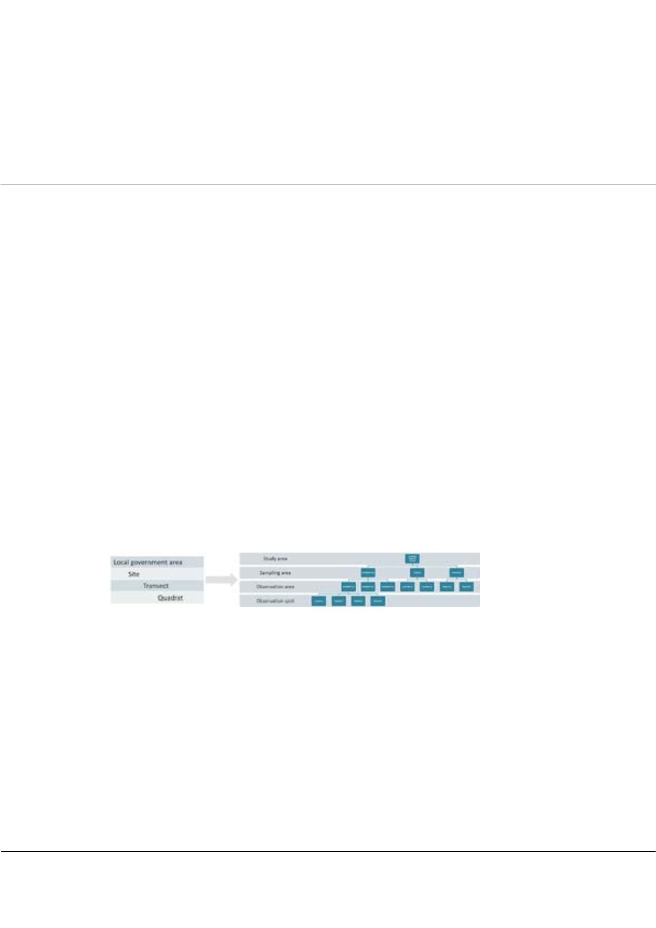
he system provides a four tiered sampling locational hierarchy and all levels of the hierarchy can be georeferenced in WKT
format. The hierarchy can be implemented differently for different types of surveys. For example Marine reef surveys at
Auckland Regional Council were implemented in the new system as follows: Observation attributes are a specialised feature of the
new system that allows taxa related biological data to be stored. A biological observation is a combination of a taxon, an attribute
and a value. The taxonomic elements of the taxonomic tree are linked to parameter types, whilst observation attributes are linked
to an observation type. In this way we can store any combination of data that can be specific to only a given type of data. E.g.
BIRDS: Cyathea medullaris, Presence = Yes In order to demonstrate the practical suitability of the new approach to ecological
data management the presentation will focus on the implementation of the new system at Natural Resources Wales (NRW) and
Auckland Regional Council (NCR).
Biography
Frank Schlaeger, has received his PHD in water quality simulation of lignite mining affected rivers. He is employed in senior roles at KISTERS for over 15
years. During this time, he has overseen many large water quality and ecology implementation projects worldwide. He was instrumental in the guidance of the
development of KISTERS water quality and ecology management software. KISTERS software solutions for the sustainable management of environmental data
are based on modern technology and in-depth understanding of application areas and markets.
frank.schlaeger@kisters.deFrank Schlaeger et al., J Ecosyst Ecography 2018, Volume 8
DOI: 10.4172/2157-7625-C1-032


