Our Group organises 3000+ Global Conferenceseries Events every year across USA, Europe & Asia with support from 1000 more scientific Societies and Publishes 700+ Open Access Journals which contains over 50000 eminent personalities, reputed scientists as editorial board members.

Open Access Journals gaining more Readers and Citations
700 Journals and 15,000,000 Readers Each Journal is getting 25,000+ Readers

This Readership is 10 times more when compared to other Subscription Journals (Source: Google Analytics)
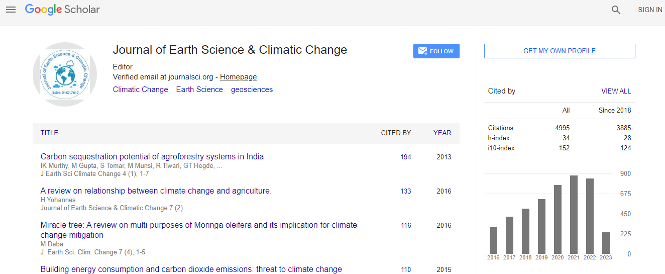
Google Scholar citation report
Citations : 5125

Journal of Earth Science & Climatic Change received 5125 citations as per Google Scholar report

Journal of Earth Science & Climatic Change peer review process verified at publons
Indexed In
  • CAS Source Index (CASSI)
  • Index Copernicus
  • Google Scholar
  • Sherpa Romeo
  • Online Access to Research in the Environment (OARE)
  • Open J Gate
  • Genamics JournalSeek
  • JournalTOCs
  • Ulrich's Periodicals Directory
  • Access to Global Online Research in Agriculture (AGORA)
  • Centre for Agriculture and Biosciences International (CABI)
  • RefSeek
  • Hamdard University
  • EBSCO A-Z
  • OCLC- WorldCat
  • Proquest Summons
  • SWB online catalog
  • Publons
  • Euro Pub
  • ICMJE
Share This Page

The digital relief model of the water reservoir bottom as a tool for the water management needs

International Conference on Earth Science & Climate Change

Viliam Barek, Jakub Fuska, Peter Halaj, Dusan Igaz, Jan Horak, Jan Cimo, Lubos Jurik, Anna Barekova and Denisa Halajova

Posters: J Earth Sci Climate Change

DOI: 10.4172/2157-7617.S1.006

Abstract
At the present time, one of the major problems of the water reservoirs is sediments deposits. The water reservoirs deposit leads to the water quality degradation and to the decreasing of the water accumulation content. Currently used methods of the actual sediments amount are performed by the measuring of the water reservoir in the system of the transverse profiles. However the classical methods are very time consuming. The paper is focused on the potential exploitation of the GPS and sonar measurements for creation of the digital model relief (DMR) of the reservoir bottom. The paper presents two basic forms of the DMR use: quantification of the bottom sediments deposit and an assessment of the actual content of the water retained in the water reservoir. The research has been realized in water reservoir Golianovo. For data collection was used the set of measurement instruments created by the GPS receiver and sonar, while this set was placed and handled from the air-raft. The central part of the project was realised the environment of the software Leica GeoOffice 7 and ArcMap 10. The project solution pointed to the possibilities and restrictions of this method utilisation for both applications in the form of map and numerical outputs. Acknowledgement: This paper is a result of project realisation: Center of Excellence for Integrated Watershed Management, No. ITMS 26220120062; supported by research and development operational program financed from ERDF.
Biography
Assoc. Prof. Viliam Barek is the Head of the Department of the Landscape Engineering at the Slovak University of Agriculture in Nitra, Slovakia for the 6th year. He has published more than 40 papers in scientific journals, books and contributions. He is member of the Slovak Union of the Landscape Engineers.
Relevant Topics
Top