Our Group organises 3000+ Global Conferenceseries Events every year across USA, Europe & Asia with support from 1000 more scientific Societies and Publishes 700+ Open Access Journals which contains over 50000 eminent personalities, reputed scientists as editorial board members.
Open Access Journals gaining more Readers and Citations
700 Journals and 15,000,000 Readers Each Journal is getting 25,000+ Readers
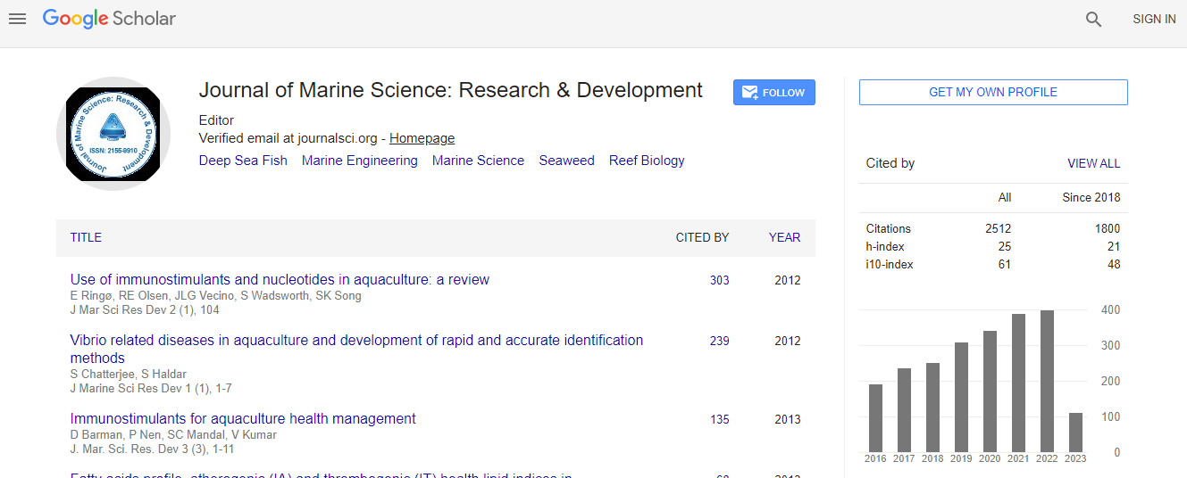
Google Scholar citation report
Citations : 3189
Indexed In
- CAS Source Index (CASSI)
- Index Copernicus
- Google Scholar
- Sherpa Romeo
- Open J Gate
- Genamics JournalSeek
- Academic Keys
- ResearchBible
- Ulrich's Periodicals Directory
- Electronic Journals Library
- RefSeek
- Directory of Research Journal Indexing (DRJI)
- Hamdard University
- EBSCO A-Z
- OCLC- WorldCat
- Scholarsteer
- SWB online catalog
- Virtual Library of Biology (vifabio)
- Publons
Useful Links
Recommended Journals
Related Subjects
Share This Page
The behaviour of the Doce river sediment plume, Brazil, prior and after an ore dam accident: observational and modelled data results
4th International Conference on Oceanography & Marine Biology
Fabiola Amorim and Martinho Marta-Almeida
CT, Federal University of EspĂ?Ârito Santo, Brazil CESAM, University of Aveiro, Portugal
Posters & Accepted Abstracts: J Marine Sci Res Dev
Abstract
The Doce River (-19.6o; -39.8o), with a watershed of 83.400 km2 and an annual net discharge of 1300m3s-1, represents one of the biggest rivers in Brazil. Along its 853 km there are 228 counties, which are supplied with its waters. The mouth of the Doce River is located at the estuary of RegĂ?ÂȘncia, an almost pristine area known by its beaches and where many fishermen get their subsistence. The adjacent continental shelf is narrow (~35km) and is part of one of the most important South Atlantic ecosystems, the archipelago of Abrolhos, which together with the Vitoria-Trindade ridge presents a complex bathymetry, which forces the meandering of the southward Brazilian current and the formation of the Vitoria eddy. Among the Brazilian rivers, the Doce river presents the highest net concentration of suspended particulate matter (SPM, 386,25 mg l-1) and the associated plume extends far north or south depending of the continental shelf preferential flow. The mean shelf circulation is southwards during the spring/summer seasons, presenting a complete reversal during the autumn/winter seasons or during events a cold front passages, becoming northwards. The Brazilian western boundary currents flow at the slope, and to the north of 22oS the circulation between 100-3000 m of the water column is roughly northward. On 5th November 2015 an accident involving a rupture of one of the ore dams of SAMARCO, a Brazilian mining company joint-venture between Vale and the English-Australian BHP Billiton, released 55x106 m3 of toxic-mud into the Doce riverbed. Seventeen days later the mud reached the ocean increasing significantly the SPM concentration of the Doce river plume. Based on a historical (2007-2014) dataset (SPM, currents, tides, waves) collected at numerous stations at the Abrolhos Bank and a realistic numerical simulation performed with the regional ocean modeling system (ROMS) we were able to investigate the seasonal behavior of the plume of the Doce river and infer its influence in the Abrolhos region prior and after the SAMARCO dam accident.Biography
Email: fnamorim@gmail.com

 Spanish
  Chinese
  Russian
  German
  French
  Japanese
  Portuguese
  Hindi
Hindi 