Our Group organises 3000+ Global Conferenceseries Events every year across USA, Europe & Asia with support from 1000 more scientific Societies and Publishes 700+ Open Access Journals which contains over 50000 eminent personalities, reputed scientists as editorial board members.
Open Access Journals gaining more Readers and Citations
700 Journals and 15,000,000 Readers Each Journal is getting 25,000+ Readers
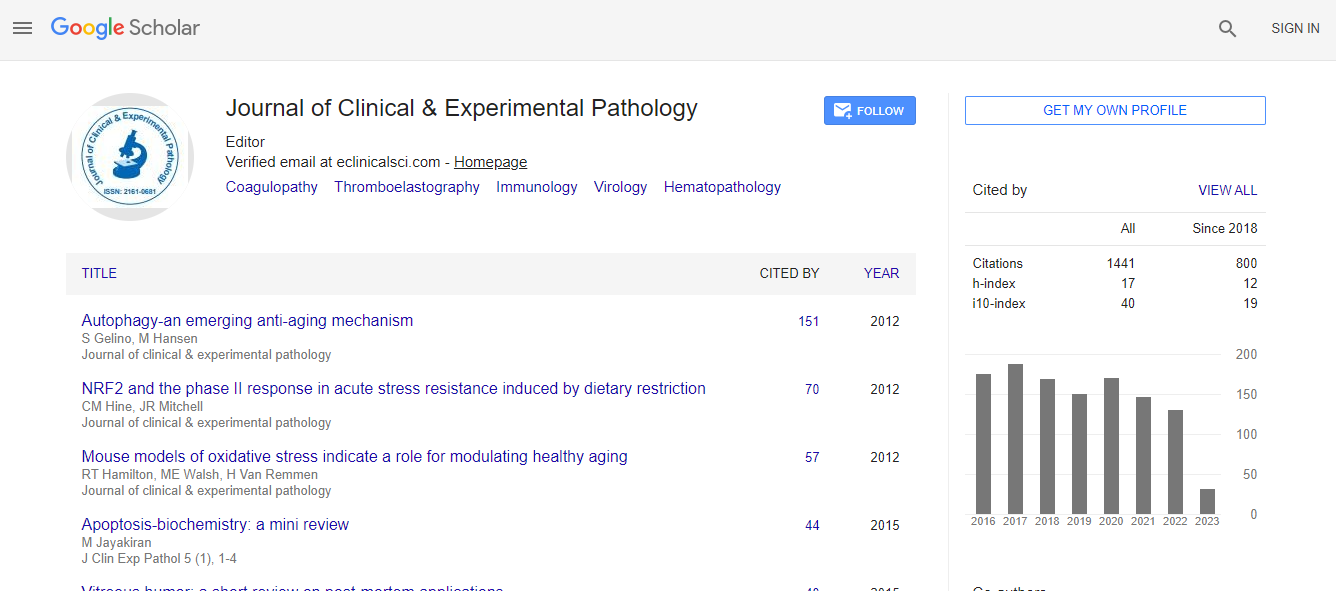
Google Scholar citation report
Citations : 2975
Journal of Clinical & Experimental Pathology received 2975 citations as per Google Scholar report
Journal of Clinical & Experimental Pathology peer review process verified at publons
Indexed In
- Index Copernicus
- Google Scholar
- Sherpa Romeo
- Open J Gate
- Genamics JournalSeek
- JournalTOCs
- Cosmos IF
- Ulrich's Periodicals Directory
- RefSeek
- Directory of Research Journal Indexing (DRJI)
- Hamdard University
- EBSCO A-Z
- OCLC- WorldCat
- Publons
- Geneva Foundation for Medical Education and Research
- Euro Pub
- ICMJE
- world cat
- journal seek genamics
- j-gate
- esji (eurasian scientific journal index)
Useful Links
Recommended Journals
Related Subjects
Share This Page
Spatio-temporal analysis of stripe rust on wheat crop in lower Pothohar region
9th World Digital Pathology & Pathologists Congress
Maria Neelam
Fatima Jinnah Women University, Pakistan
Posters & Accepted Abstracts: J Clin Exp Pathol
Abstract
The present study focused on stripe rust incidences on wheat crop in lower Pothohar region to assess present damaging effects of stripe rust disease on wheat crop through geographic information system tools. As wheat is the main cereal crop that is grown in Jhelum district on both irrigated and non-irrigated lands. This study was done on lower Pothohar region i.e., Jhelum district while comparing the disease incidence data of stripe rust for six years (2010-2015). Climatic data including temperature, precipitation and humidity were analyzed for past six years because these variations are responsible for development of rust diseases in selected regions. Jhelum provides favorable moisture and rainfall to help germinate the rust spores on widespread wheat crop. Geographic information system tools provide valuable information through visual interpretation of attribute data. Standard deviational ellipses showed the extent of variation of disease exhibiting the directional trend for six years in which the ellipse area of stripe rust disease expanded during 2015. Spatial autocorrelation analysis concluded that stripe rust disease is exhibiting dispersed pattern during 2015 with clustered pattern in previous years. Therefore, this study provided the information about spread and shift of stripe rust in Jhelum district through broad spectrum of geospatial analysis that result in real time visualization and predictive analysis. Stripe rust is becoming more prevalent so the wheat varieties resistant against stripe rust needs to be cultivated. Fungicides are also need to be used against development of rust that will ultimately lead to high yield of wheat crop.Biography
Email: marianeelam35@fjwu.edu.pk

 Spanish
  Chinese
  Russian
  German
  French
  Japanese
  Portuguese
  Hindi
Hindi 
