ISSN: 2155-9910

Journal of Marine Science: Research & Development
Open Access

Our Group organises 3000+ Global Conferenceseries Events every year across USA, Europe & Asia with support from 1000 more scientific Societies and Publishes 700+ Open Access Journals which contains over 50000 eminent personalities, reputed scientists as editorial board members.

Open Access Journals gaining more Readers and Citations
700 Journals and 15,000,000 Readers Each Journal is getting 25,000+ Readers

This Readership is 10 times more when compared to other Subscription Journals (Source: Google Analytics)
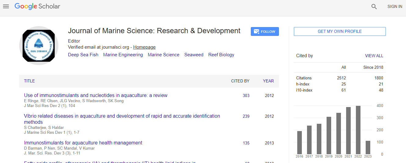
Google Scholar citation report
Citations : 3189

Journal of Marine Science: Research & Development received 3189 citations as per Google Scholar report

Indexed In
  • CAS Source Index (CASSI)
  • Index Copernicus
  • Google Scholar
  • Sherpa Romeo
  • Open J Gate
  • Genamics JournalSeek
  • Academic Keys
  • ResearchBible
  • Ulrich's Periodicals Directory
  • Electronic Journals Library
  • RefSeek
  • Directory of Research Journal Indexing (DRJI)
  • Hamdard University
  • EBSCO A-Z
  • OCLC- WorldCat
  • Scholarsteer
  • SWB online catalog
  • Virtual Library of Biology (vifabio)
  • Publons
Share This Page

Spatial risk assessment of oil spill vulnerability in north of Persian Gulf using batch mike model simulation and Monte Carlo method

3rd International Conference on Oceanography

Sahar Mokhtari1, Seyed Mohsen Hosseini1, Afshin Danehkar2, Masoud Torabi Azad3 and Babak Naimi4

ScientificTracks Abstracts: J Marine Sci Res Dev

DOI: 10.4172/2155-9910.S1.010

Abstract
Maps of oil spill probability are important tools in environmental risk assessment and in decision support in coastal zone management. Spatial risk assessment of oil spill vulnerability has 5 steps: (1) Make an oil spill probability map, (2) Prepare a map of the sensitivity of the coastal zone to oil spill, (3) Based on the probability map, prepare multiple scenarios of potential oil spills selected based on different occurrence probability distributions using the Monte-Carlo method, (4) For each potential oil spill scenario, run a dynamic oil-spill model to find the parts of the coastal zone affected by the oil spill and (5) The output maps of all simulated scenarios are combined into one vulnerability map to see which parts of the coastline are most likely to be hit by oil from oil spills. The simulated oil spill volume shape file is overlaid with the coastal zone sensitivity map to create the final spatial oil spill risk assessment map which identifies the priority areas for protection about oil spill. In this study, we explain a procedure for running multiple scenarios of the Mike by DHi software (Ecolab oil spill model) based on the oil spill probability map. The batch process can prepare multiple simulations automatically, speeding up the creation of the vulnerability map. We implemented the method using the R open source software.
Biography
Sahar Mokhtari is a PhD candidate at Tarbiyat Modares University in Iran. Currently she is a Visiting Research Scholar in Louisiana State University. She has worked as the Senior Expert on coastal environment. Title of her PhD thesis is ?Designing of decision support system for the protection of coasts from oil spills?.
Relevant Topics
Top