Our Group organises 3000+ Global Conferenceseries Events every year across USA, Europe & Asia with support from 1000 more scientific Societies and Publishes 700+ Open Access Journals which contains over 50000 eminent personalities, reputed scientists as editorial board members.
Open Access Journals gaining more Readers and Citations
700 Journals and 15,000,000 Readers Each Journal is getting 25,000+ Readers
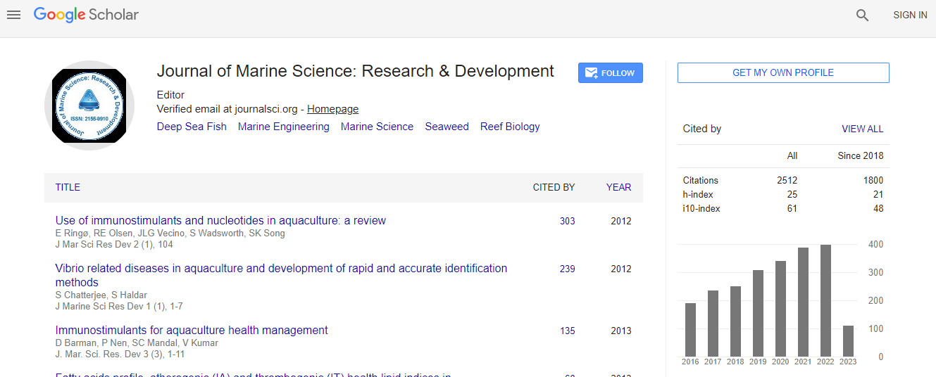
Google Scholar citation report
Citations : 3189
Indexed In
- CAS Source Index (CASSI)
- Index Copernicus
- Google Scholar
- Sherpa Romeo
- Open J Gate
- Genamics JournalSeek
- Academic Keys
- ResearchBible
- Ulrich's Periodicals Directory
- Electronic Journals Library
- RefSeek
- Directory of Research Journal Indexing (DRJI)
- Hamdard University
- EBSCO A-Z
- OCLC- WorldCat
- Scholarsteer
- SWB online catalog
- Virtual Library of Biology (vifabio)
- Publons
Useful Links
Recommended Journals
Related Subjects
Share This Page
Satellite radar altimetry applied to coastal ocean studies
4th International Conference on Oceanography & Marine Biology
Stefano Vignudelli
Consiglio Nazionale delle Ricerche, Italy
Posters & Accepted Abstracts: J Marine Sci Res Dev
Abstract
Satellite radar altimetry is today considered a mature technique in open Ocean. The data stream from the various satellite missions are routinely used for a number of applications. In the last decade, significant research has been carried out into overcoming the problems to extend the capabilities of radar altimeters to the coastal zone with the aim to integrate the altimeter-derived measurements of sea level, wind speed and significant wave height into coastal ocean observing systems. More/better (and new) datasets are being produced. Moreover, the advent of new satellite missions, both nadir-viewing (e.g., Sentinel-3) and wide-swath (e.g. SWOT), should globally improve both quantity and quality of coastal altimetry data. In this talk, after a brief review of the challenges in coastal altimetry and description of the new products, we showcase some application examples how the new products can be exploited and we discuss directions for a global coastal altimetry dataset as an asset for long term monitoring of sea level and sea state in the coastal ocean.Biography
Email: vignudelli@pi.ibf.cnr.it

 Spanish
  Chinese
  Russian
  German
  French
  Japanese
  Portuguese
  Hindi
Hindi 