Our Group organises 3000+ Global Conferenceseries Events every year across USA, Europe & Asia with support from 1000 more scientific Societies and Publishes 700+ Open Access Journals which contains over 50000 eminent personalities, reputed scientists as editorial board members.
Open Access Journals gaining more Readers and Citations
700 Journals and 15,000,000 Readers Each Journal is getting 25,000+ Readers
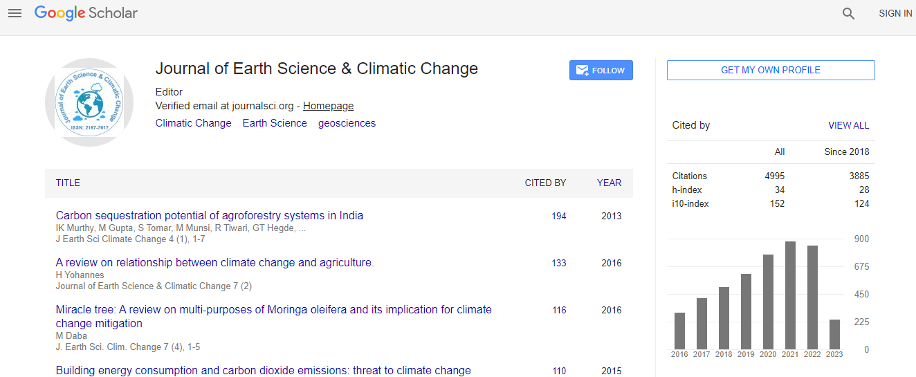
Google Scholar citation report
Citations : 5125
Journal of Earth Science & Climatic Change received 5125 citations as per Google Scholar report
Journal of Earth Science & Climatic Change peer review process verified at publons
Indexed In
- CAS Source Index (CASSI)
- Index Copernicus
- Google Scholar
- Sherpa Romeo
- Online Access to Research in the Environment (OARE)
- Open J Gate
- Genamics JournalSeek
- JournalTOCs
- Ulrich's Periodicals Directory
- Access to Global Online Research in Agriculture (AGORA)
- Centre for Agriculture and Biosciences International (CABI)
- RefSeek
- Hamdard University
- EBSCO A-Z
- OCLC- WorldCat
- Proquest Summons
- SWB online catalog
- Publons
- Euro Pub
- ICMJE
Useful Links
Recommended Journals
Related Subjects
Share This Page
In Association with

Land use exposure analysis in the occurrence of a storm surge event
World Conference on Climate Change
Alyosha Ezra C Mallari
University of the Philippines, Philippines
ScientificTracks Abstracts: J Earth Sci Clim Change
Abstract
Considering the effects of climate change on preparing the land use plan of an area can be useful in increasing its adaptation. For instance, determining the classification of land uses in areas susceptible to the harmful impacts of climate change can provide useful planning information to the local government units for long-term purposes. This study aims to analyze the existing land uses of areas exposed to a storm surge hazard in Tacloban City. Tacloban City, which has been devastated by the onslaught of Storm Surge in Typhoon Haiyan, is considered to be susceptible to detrimental impacts of climate change. Datasets of the Storm Surge hazard map in Tacloban City are categorized into low, medium and high. On the other hand, the existing land use map of Tacloban City is processed into GIS software to provide information on the city├ó┬?┬?s land use categories. Using overlay analysis, the extent of land uses exposed in the different hazard levels is classified. The results may provide as inputs for planners and stakeholders in generating programs or projects to alleviate the vulnerable conditions of the area such as risk zoning and other necessary planning interventions.Biography
Alyosha Ezra C Mallari is a PhD Student at the School of Urban and Regional Planning, University of the Philippines. He has published as a sole author in an international journal and has been involved in several projects regarding climate disaster risk assessment, geographic information systems and land use planning.
Email: aemallari@yahoo.com

 Spanish
  Chinese
  Russian
  German
  French
  Japanese
  Portuguese
  Hindi
Hindi 
