Our Group organises 3000+ Global Conferenceseries Events every year across USA, Europe & Asia with support from 1000 more scientific Societies and Publishes 700+ Open Access Journals which contains over 50000 eminent personalities, reputed scientists as editorial board members.
Open Access Journals gaining more Readers and Citations
700 Journals and 15,000,000 Readers Each Journal is getting 25,000+ Readers
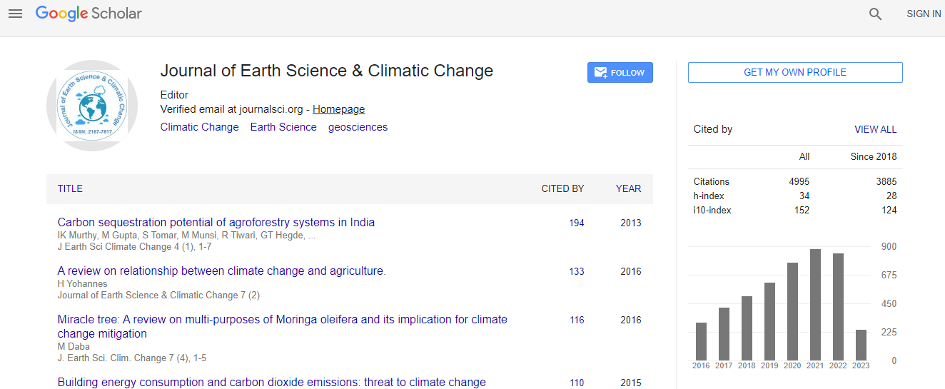
Google Scholar citation report
Citations : 5125
Journal of Earth Science & Climatic Change received 5125 citations as per Google Scholar report
Journal of Earth Science & Climatic Change peer review process verified at publons
Indexed In
- CAS Source Index (CASSI)
- Index Copernicus
- Google Scholar
- Sherpa Romeo
- Online Access to Research in the Environment (OARE)
- Open J Gate
- Genamics JournalSeek
- JournalTOCs
- Ulrich's Periodicals Directory
- Access to Global Online Research in Agriculture (AGORA)
- Centre for Agriculture and Biosciences International (CABI)
- RefSeek
- Hamdard University
- EBSCO A-Z
- OCLC- WorldCat
- Proquest Summons
- SWB online catalog
- Publons
- Euro Pub
- ICMJE
Useful Links
Recommended Journals
Related Subjects
Share This Page
In Association with

Land use change detection and urban extension at Abu-Rawash Environs, West Cairo, Egypt
2nd International Conference on Natural Hazards and Disaster Management
Ahmad Gaber Shidied Ibrahim, Mohamed Saleh Hammad, Ahmed Wagih Hussein and Farouk Sayed
Fayoum University, Egypt Cairo University, Egypt
ScientificTracks Abstracts: J Earth Sci Clim Change
Abstract
Abu-Rawash environs covers about 80 km2 of the northern part of the Western Desert, at 10 km southwest of Greater Cairo, Egypt. It represents the exclusive exposure of Cretaceous rocks and structures in the north Western Desert. It displays excellent model of the stratigraphic and structural architecture of the north Western Desert subsurface hydrocarbon provinces. Urban development through the last five decades led to partial and complete obliteration of several locations at Abu-Rawash area. Temporal Google images of different sources and historical aerial photographs were used to detect and evaluate the land use changes due to successive urban development, declaring of geologically protectorate sites. The present study describes image processing techniques of remotely sensing data in change detection by anthropologic activities of Abu-Rawash Environs as development of new urban sites, roads and quarries.Biography
Ahmed Gaber Shedid Ibrahim is a Professor of Hydrogeology, Geology Department, Faculty of Science, Fayoum University, Egypt.
E-mail: ags00@fayoum.edu.eg

 Spanish
  Chinese
  Russian
  German
  French
  Japanese
  Portuguese
  Hindi
Hindi 
