Our Group organises 3000+ Global Conferenceseries Events every year across USA, Europe & Asia with support from 1000 more scientific Societies and Publishes 700+ Open Access Journals which contains over 50000 eminent personalities, reputed scientists as editorial board members.
Open Access Journals gaining more Readers and Citations
700 Journals and 15,000,000 Readers Each Journal is getting 25,000+ Readers
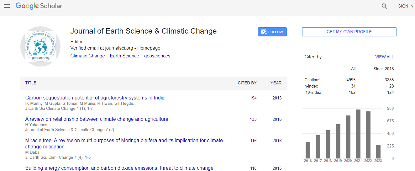
Google Scholar citation report
Citations : 5125
Journal of Earth Science & Climatic Change received 5125 citations as per Google Scholar report
Journal of Earth Science & Climatic Change peer review process verified at publons
Indexed In
- CAS Source Index (CASSI)
- Index Copernicus
- Google Scholar
- Sherpa Romeo
- Online Access to Research in the Environment (OARE)
- Open J Gate
- Genamics JournalSeek
- JournalTOCs
- Ulrich's Periodicals Directory
- Access to Global Online Research in Agriculture (AGORA)
- Centre for Agriculture and Biosciences International (CABI)
- RefSeek
- Hamdard University
- EBSCO A-Z
- OCLC- WorldCat
- Proquest Summons
- SWB online catalog
- Publons
- Euro Pub
- ICMJE
Useful Links
Recommended Journals
Related Subjects
Share This Page
In Association with

Land resources quantity-quality ecological monitoring technique
5th International Conference on Earth Science & Climate Change
Chunyan Lv, Xudong Guo, Yanyu Zhang and Yuqi Chen
China Land Surveying and Planning Institute, China
Posters & Accepted Abstracts: J Earth Sci Clim Change
Abstract
Land resource management is gradually changing from quantity management to quantity quality ecological comprehensive management. Based on the quantity-quality-ecology monitoring index system, this paper studied the technical method of index information acquisition. At the regional scale, monitoring indicators include the change of cultivated land, biomass, vegetation coverage, forest density, land degradation et al., a total of 18 indicators, and remote sensing technology are mainly used to combine with the ground survey method. Among them, the indicators of land degradation were monitored every five years, other indicators once a year. In the plot scale, monitoring indicators include soil texture, soil organic matter, organic pollution, heavy metal pollution, soil salt content, fertilizer use pesticide usage a total of 17 indicators, the method of questionnaire survey and experimental measurement were used. Among them, the monitoring period of soil texture, total potassium and total phosphorus was once every five years, soil water was once every two years, land quality indicators was once every three years, others once a year. This technique was applied to six different typical regions in China, including Dujiangyan of Sichuan province, Erdos of Inner Mongolia, Jingtan and Xuzhou of Jiangsu province, Xinzheng of Henan province, and Yuzhong of Gansu province, obtaining the land resource data of the demonstration area, and to provide the data support for the local land management.Biography
Chunyan Lv is a Researcher from a laboratory in China in the study of land use. She has been engaged in the research of land use change and ecological environment of land resources montoring, and has published more than 20 articles in journals.
Email: lvchybj@126.com

 Spanish
  Chinese
  Russian
  German
  French
  Japanese
  Portuguese
  Hindi
Hindi 
