 Spanish
  Chinese
  Russian
  German
  French
  Japanese
  Portuguese
  Hindi
Hindi Our Group organises 3000+ Global Conferenceseries Events every year across USA, Europe & Asia with support from 1000 more scientific Societies and Publishes 700+ Open Access Journals which contains over 50000 eminent personalities, reputed scientists as editorial board members.
Open Access Journals gaining more Readers and Citations
700 Journals and 15,000,000 Readers Each Journal is getting 25,000+ Readers
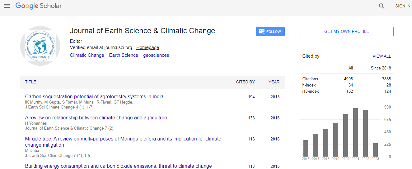
Google Scholar citation report
Citations : 5125
Journal of Earth Science & Climatic Change received 5125 citations as per Google Scholar report
Journal of Earth Science & Climatic Change peer review process verified at publons

Indexed In
- CAS Source Index (CASSI)
- Index Copernicus
- Google Scholar
- Sherpa Romeo
- Online Access to Research in the Environment (OARE)
- Open J Gate
- Genamics JournalSeek
- JournalTOCs
- Ulrich's Periodicals Directory
- Access to Global Online Research in Agriculture (AGORA)
- Centre for Agriculture and Biosciences International (CABI)
- RefSeek
- Hamdard University
- EBSCO A-Z
- OCLC- WorldCat
- Proquest Summons
- SWB online catalog
- Publons
- Euro Pub
- ICMJE
Useful Links
Recommended Journals
Related Subjects
Share This Page
In Association with

Geospatial and temporal analysis of drought in a mountainous environment: The case of Lesotho
4th World Conference on CLIMATE CHANGE
Geofrey Mukwada
University of the Free State, South Africa
ScientificTracks Abstracts: J Earth Sci Clim Change
Abstract
Despite being perched in the relatively high rainfall Drakensberg Mountain Region, Lesotho has recently experienced severe droughts which have placed large numbers of people at risk. Generally rated as a ��?fragile state� and a typical ��?Least Developed Country�, by the UN Framework Convention on Climate Change (UNFCCC), the country needs technical assistance in terms of climate change preparedness. This paper investigates the spatiotemporal variability of drought in Lesotho, using Standardized Precipitation Index (SPI) values that were calculated from gridded precipitation data. The data were acquired from the CRUTS website through Climate Explorer and were for the 1960-2014 period. The resolution of the data was 0.5o x 0.5o. The calculations were done using the Drought Index Calculator (DrinC) and were for the January, February and March (JFM) months, the prime period during which the country receives most of its precipitation. The resultant SPI values were categorized using McKee��?s et al. (1993) classification to determine the years when specific grid points experienced droughts of particular levels of severity, including moderate, severe and extremely severe droughts. Time series analysis was then employed to determine drought and wet years alongside amounts of precipitation, and the spatial variability of the SPI values for drought years were interpolated in an ArcGIS (version 10.3) environment. The results indicate that the northern, southern and western parts of the country are more susceptible to drought, compared to the eastern parts of the country. This knowledge is important for drought related disaster management planning and for designing policies that mitigate climate related hazards and enhance vulnerability in the country.Biography
Geoffrey Mukwada is an Associate Professor in Environmental Geography and is based at the University of the Free State in South Africa. Professor Mukwada’s research primarily revolves around natural resource management, climate change and rural livelihoods. He has published more than thirty papers in accredited journals. He is the founding coordinator of the Afromontane Research Unit (ARU) at the University of the Free State and is the current coordinator of the Living and Doing Business in Afromontane Environments theme of the ARU.