Our Group organises 3000+ Global Conferenceseries Events every year across USA, Europe & Asia with support from 1000 more scientific Societies and Publishes 700+ Open Access Journals which contains over 50000 eminent personalities, reputed scientists as editorial board members.

Open Access Journals gaining more Readers and Citations
700 Journals and 15,000,000 Readers Each Journal is getting 25,000+ Readers

This Readership is 10 times more when compared to other Subscription Journals (Source: Google Analytics)
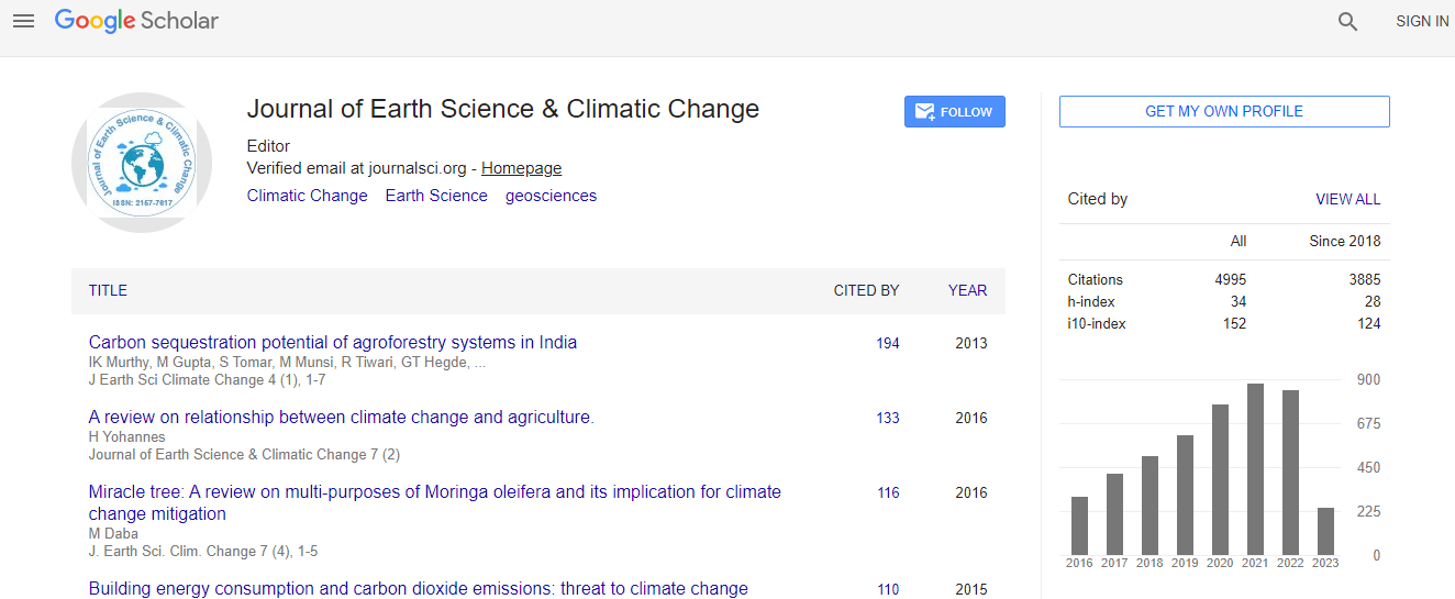
Google Scholar citation report
Citations : 5125

Journal of Earth Science & Climatic Change received 5125 citations as per Google Scholar report

Journal of Earth Science & Climatic Change peer review process verified at publons
Indexed In
  • CAS Source Index (CASSI)
  • Index Copernicus
  • Google Scholar
  • Sherpa Romeo
  • Online Access to Research in the Environment (OARE)
  • Open J Gate
  • Genamics JournalSeek
  • JournalTOCs
  • Ulrich's Periodicals Directory
  • Access to Global Online Research in Agriculture (AGORA)
  • Centre for Agriculture and Biosciences International (CABI)
  • RefSeek
  • Hamdard University
  • EBSCO A-Z
  • OCLC- WorldCat
  • Proquest Summons
  • SWB online catalog
  • Publons
  • Euro Pub
  • ICMJE
Share This Page

Deployment of hydrometeorological detection and warning system in Cisarua, West Java, Indonesia

2nd International Conference on Natural Hazards and Disaster Management

Iwan G Tejakusuma, E Hanggari Sittadewi and Riski Fitriani

Badan Pengkajian Dan Penerapan Technology, Indonesia

Posters & Accepted Abstracts: J Earth Sci Clim Change

DOI: 10.4172/2157-7617-C2-043

Abstract
An important option to reduce the risk of hydrometeorological disaster in Cisarua, Nyalindung village, West Java is by applying hydrometeorology detection and early warning instrumentations. This area is threatened by landslides and debris flow flash floods while agricultural drought may occur in the dry season. Debris flow flash flood flows right into the village during the disaster of 2013 but the relocation of the affected residents is not an acceptable option. Early detection and warning instrumentations is designed to fit with the hazard conditions and setting of the disaster-threatened areas. Instrumentation is designed to be simple and cheap but reliable. This instrumentation uses a wireless sensor network system consisting of one coordinator, one router and three end devices with radio wave telecommunication and equipped with sensors. Coordinator serves as a monitoring and data center while router as intermediary data transmission from end device to coordinator, as well as monitoring the weather conditions and give warning through the siren. End device serves as a detector of landslide and debris flow flash flood hazards as well as agricultural drought hazards. To detect landslides, slope inclination sensors is used and placed on the first end device on a potentially landslide prone area. The ground vibration sensor is placed at the second end device on the river�s edge in the upstream to detect the flow of debris flows flash floods. To monitor agricultural drought, soil moisture sensor is placed on the third end device on the agricultural land. Weather conditions are monitored by rainfall, temperature and humidity sensors, wind speed and direction sensors as well as air pressure sensor which are mounted on the router and placed on the location of residence at risk.
Biography
Relevant Topics
Top