ISSN: 2157-7617

Journal of Earth Science & Climatic Change
Open Access

Our Group organises 3000+ Global Conferenceseries Events every year across USA, Europe & Asia with support from 1000 more scientific Societies and Publishes 700+ Open Access Journals which contains over 50000 eminent personalities, reputed scientists as editorial board members.

Open Access Journals gaining more Readers and Citations
700 Journals and 15,000,000 Readers Each Journal is getting 25,000+ Readers

This Readership is 10 times more when compared to other Subscription Journals (Source: Google Analytics)
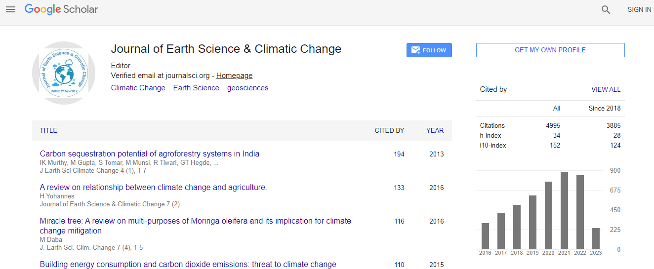
Google Scholar citation report
Citations : 5125

Journal of Earth Science & Climatic Change received 5125 citations as per Google Scholar report

Journal of Earth Science & Climatic Change peer review process verified at publons
Indexed In
  • CAS Source Index (CASSI)
  • Index Copernicus
  • Google Scholar
  • Sherpa Romeo
  • Online Access to Research in the Environment (OARE)
  • Open J Gate
  • Genamics JournalSeek
  • JournalTOCs
  • Ulrich's Periodicals Directory
  • Access to Global Online Research in Agriculture (AGORA)
  • Centre for Agriculture and Biosciences International (CABI)
  • RefSeek
  • Hamdard University
  • EBSCO A-Z
  • OCLC- WorldCat
  • Proquest Summons
  • SWB online catalog
  • Publons
  • Euro Pub
  • ICMJE
Share This Page

Assessment of water resources in Khor Gabeit and Khor Adalaweb areas, Gabeita L Maaden, Red sea state

3rd International Conference on Earth Science & Climate Change

K M Kheiralla, Daffalla S, Mohamed N E and Abdelgalil M Y

ScientificTracks Abstracts: J Earth Sci Clim Change

DOI: 10.4172/2157-7617.S1.013

Abstract
This study aimed at assessing water resources in Wadi Gabeit and Wadi Adalaweb areas in the Red Sea State. Morphologically, the area is divided into three distinctive parts, the upper mountainous, the downstream, and the delta of Khor Arbaat where agriculture was practiced by the local people. Geologically the area is occupied by intermediate-basic metavolcanics with granitic rocks that intruded by acidic and basic dykes of NNE-SSW and NNW-SSE directions. The Wadi drainage is seasonal and the shallow wells have accessed small aquifer of palaeo-water accumulations that may not sustain prolonged usage. Wells commonly occupy changes in wadis direction which indicates that rock barriers have provided natural dams interrupting the flow of water through the Wadi gravels. The average measured annual discharge of Wadi is about 18.4 million m 3 however, extreme values and no values were also recorded in the data. Generally the flow is erratic and displays a wide variability in run off values over years. Groundwater resource associates with the alluvium sediments; underlain by fractured basement rocks, along the channel of Khor Gabeit and Khor Adalaweb basins. The aquifer is considered as an anisotropic body. Generally, depth to groundwater varies from 1-31 m depending on type of aquifer, the time of the year, location, intensity of the flood and the relative elevation of ground surface. Considering the aquifer areal coverage, thickness, effective porosity, the storage capacity of khorGabeit aquifer is conservatively estimated at 12.6 million m 3 . Results of the pumping test have revealed a transmissivity (T) range 0.84�102-0.86�102 m 2/day. Dam construction will create positive impacts asrecharging groundwater thus improving well productivities and groundwater quality, and negative impacts as causing of groundwater recession and dryness of the open wells used for small agricultural production by local farmers in the delta area as well as reducing the base flow almost by 50%.
Biography
Top