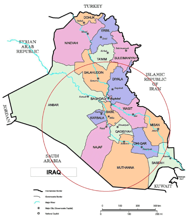
Figure 1:
An Iraq administrative map showing the population and the central governorates where our samples came from (areas included in the red circle) (Source: UNOSAT, www.unosat.org, United Nations).